Google Earth is a free tool by Google that lets you explore the world through 3D satellite imagery.
While the web version is convenient and doesn’t require installation, advanced features such as KML editing, high-resolution screenshots, and precise area measurement are only available in the desktop (Pro) version.
For professionals involved in mapping, urban planning, or property analysis, Google Earth Pro offers the tools necessary to work with spatial data at a higher level.
Download Google Earth – Explore the World in 3D

Compare the web version and the desktop Pro version to find the best fit for your needs.
Google Earth Web vs Pro: Key Differences
| Feature | Google Earth Web | Google Earth Pro (Desktop) |
|---|---|---|
| How it works | Browser-based | Installed software |
| KML/KMZ editing | Limited | ✅ Full editing and creation |
| Add images, icons, descriptions | ❌ Not supported | ✅ Supported |
| High-resolution export | ❌ Not available | ✅ Export as JPG/PDF |
| Distance/area measurement | Basic only | Advanced measurement tools |
| 3D view | Standard | Detailed control available |
| Flight simulator | ❌ No | ✅ Yes |
How to Create a KML File in Google Earth
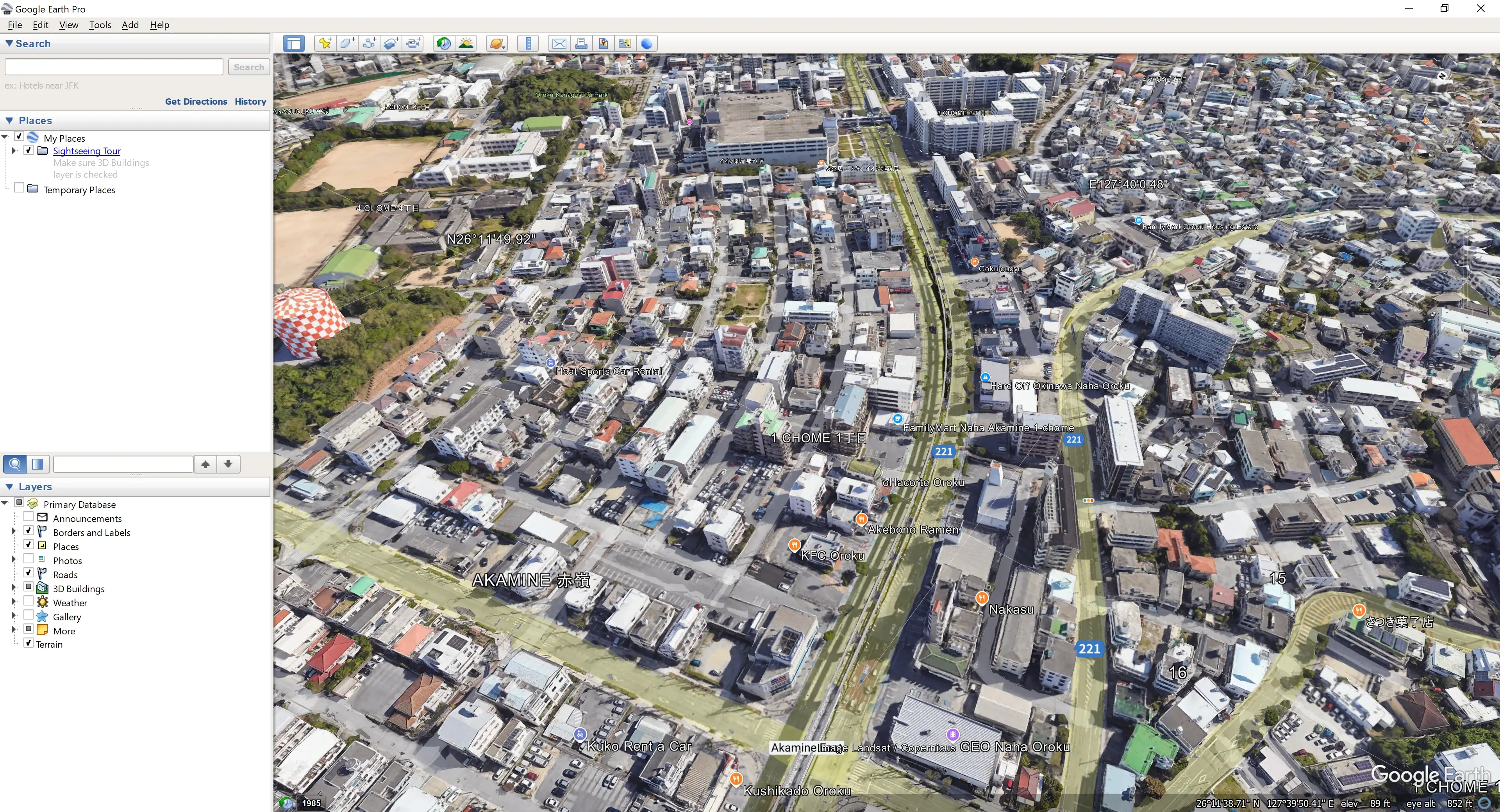
1. Open Google Earth
2. Search for a location
- Example: type “Namsan Seoul Tower” and locate it on the map
3. Add placemarks, paths, or polygons
- Placemark: click
Add Placemark - Path: select
Add Path - Polygon: select
Add Polygon
4. Enter name and description
- You can enter a title, HTML description, and change the icon
5. Save your data
- Right-click the item in the sidebar →
Save Place As... - Select format:
KML (*.kml)
Below is how to use Street View in Google Earth. It works similarly in both the web and desktop versions.
How to Use Street View in Google Earth
- Click the Street View icon:
Use the yellow person icon at the bottom right - Check for yellow-highlighted roads:
Available Street View roads will be highlighted
- Select your desired location:
Click a yellow road to enter Street View mode - Switch to Ground View (3D):
Click the “Ground View” button to see terrain and buildings in 3D
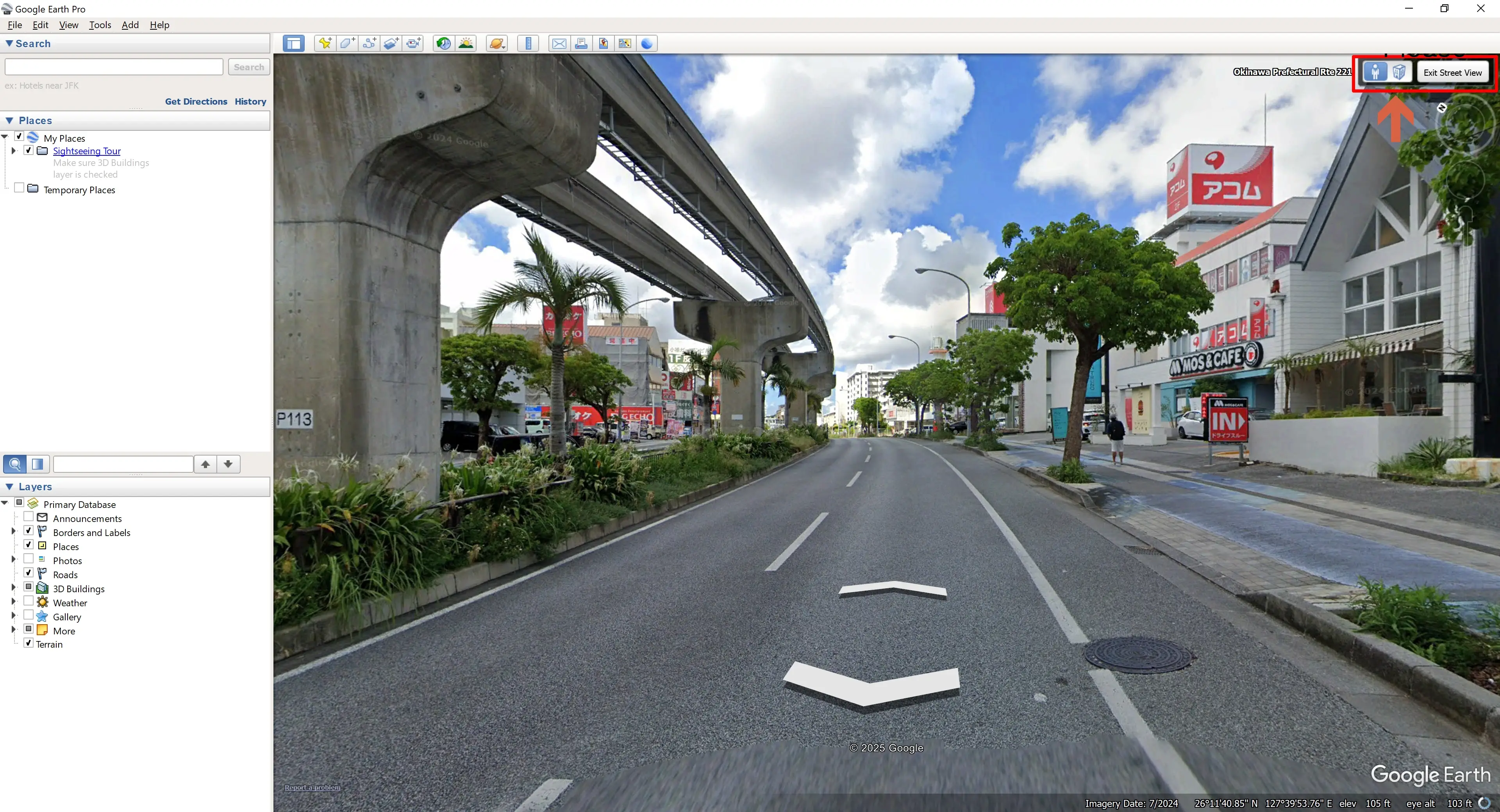
- Exit Street View:
Click the “X” in the upper left or select “Exit Street View”
Street View lets you explore real-world street-level imagery — great for trip planning, property scouting, and traffic checks.
For professionals, Google Earth Pro offers precise tools for measurement and export.